 One of the fun parts about a trip to West Virginia is driving the country roads. Winding, twisty mountain roads through farmland and forests. There are roadside attractions aplenty, from the historic to the quirky. Adventures and misadventures abound.
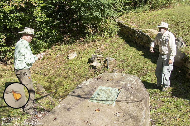 Historic: the Fairfax Stone, where in imitation of George Washington, Robb and Don pitched a quarter back and forth across the head spring of the Potomac River, every toss of the coin closely mimicked by a curious Monarch butterfly (inset)

Quirky: the Smallest Church in 48 States, our Lady of the Pines.
Also the Smallest Mailing Office and a normal-sized wooden outhouse.
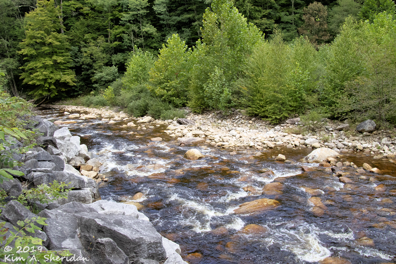
We crossed the Potomac yet again, a little wider here along the North Fork of the South Branch …
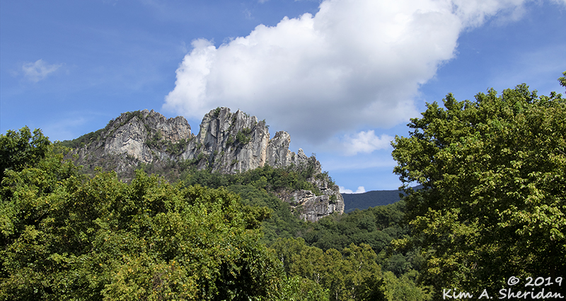
 …where aliens lurked in the face of Seneca Rocks.
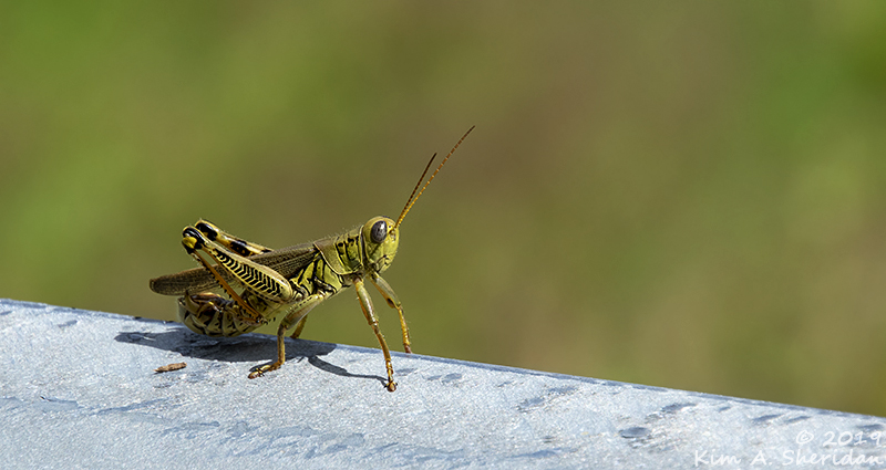 Another alien creature posed along the road…
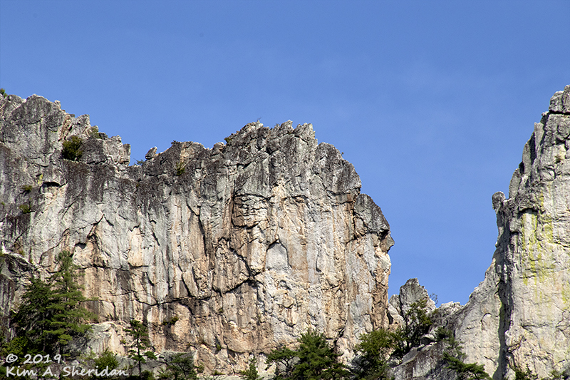
 …where we had paused to admire this razor-sharp ridge.
 A nearby farmhouse nestled in the valley under a bright blue sky.
Ah, blue skies! Nothing pleases the soul like fair weather, much like we had that lovely sunny morning while we were at Canaan Valley NWR, little dreaming of our impending peril…
Our goal for that afternoon had been the Bear Rocks Preserve at the north end of Dolly Sods, reachable only by traveling about 10 miles of fairly passable dirt Forest Service roads.
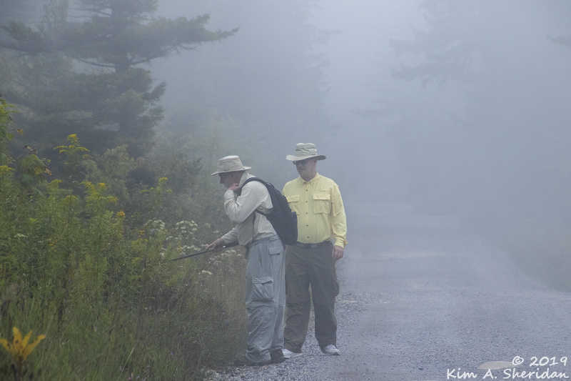
 As soon as we crossed into Dolly Sods, Robb and Don wanted to stop and look at ferns. I strolled the banks of Red Creek. Turning around, I wondered when it had grown so ominously dark in the forest.
Dolly Sods makes its own weather, like many places over 4000’. Rain, wind and worse are not unusual, even when the lower elevations are clear. Still, I was hoping the forecasted thunderstorms would hold off.
Didn’t get my wish. By the time we’d reached the Picnic Area – World’s Shortest Toilet! – we heard distant rumbles of thunder. Not good – Bear Rocks is no place to be caught out in lightning.
Through the tunnel of trees, on the horizon and drawing nearer –
 FOG!
FOG!
Oh, goodie. Those who followed my Appalachian Spring series a few years back know that mountain roads, fog, and I are not on friendly terms.
 Never mind, there was much to explore, while we could still see it. We stopped at the first big tumble of rocks because Robb thought he saw a fern he needed to interrogate. No fern can withstand the rigors of Don’s walking stick torture technique.
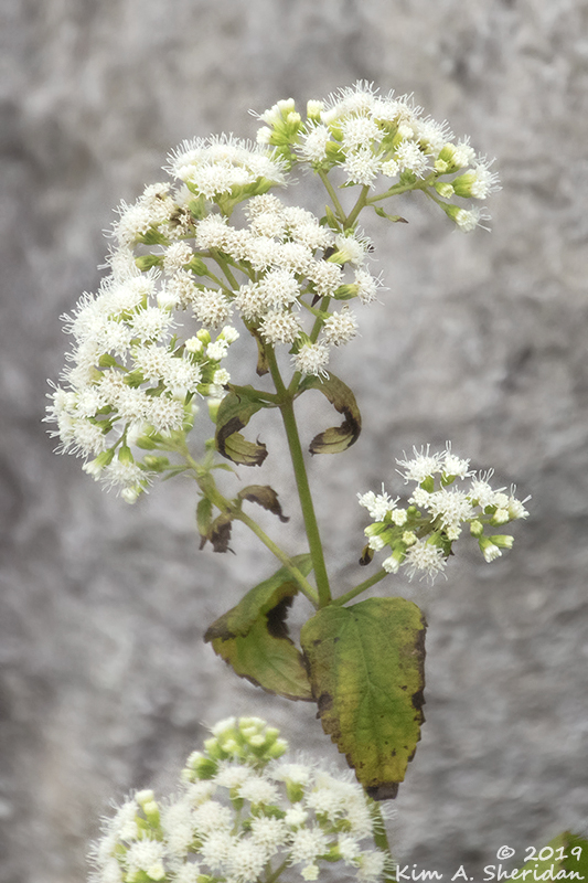
Saving my energy for Bear Rocks, I busied myself with photography, and a few attempts to video the wispy tendrils of mist wafting across the landscape. It really was picturesque, and I was absorbed by the wildflowers amidst the rock piles.
Soon it started to spit, and when we got to the car a few minutes later, the skies opened up. We decided to press on to Bear Rocks in the hope that the rain would stop. What could go wrong?
What followed was a misadventure of epic proportions, as our trek home went dramatically awry. Why don’t you enjoy some photos of the lovely scenery and flora of Dolly Sods while I continue the tale…
 The rain just got heavier as we drove deeper into Dolly Sods. So did the human presence.
Being a holiday weekend, there were quite a few hikers huddled around their cars at each parking area, large backpacks piled up beside them.
If the rain wasn’t enough, the crowds at Bear Rocks completely discouraged us from attempting it. Surviving the traffic was scary enough.
Cars were parked along both sides of the road, cars piled up behind us, and cars coming our way, with no room to pass or back up.
When we managed to slip through, we decided that rather than turn around and fight traffic, we’d continue the way we were going. I set my GPS for home and on we went down Forest Road 75. Never driven it before, but how bad can it be?
Well… It was twisty, and steep both down and up, and it narrowed, making passage tough when faced with an oncoming car. Scenic, though, going through the deep forest.
 4.7 dirt miles later, we reached pavement at Jordan Run Road. Ok, this is more like it.
After 3 miles, the GPS told us to turn left on Stony River Dam Road. I was skeptical, but it was paved – for a little way. Then we were back on dirt again. At first we drove through open farmland, with sweeping views off to the far ridges. Soon we were back in the forest, back to winding and twisting and climbing. In the pouring rain the whole time, I might add.
 2.8 miles later we came to a fork with two roads going forward –
BOTH GATED.
But of course! Robb snoozed on, blissfully unaware. Don and I just broke up. What could go wrong, indeed?
 In the end we had no choice but to retrace the nearly 3 miles back to Jordan Run Road. Whereupon the GPS now told us to continue on Jordan Run for a mere 2 miles further – to a nice paved 2-lane highway, which after a scenic and cushy drive, took us to Highway 48, and home.
Why, oh why, did the GPS not take us that way in the first place?!!!
 That evening, after the rain stopped, a mist drifted slowly through the canyon of the Blackwater River.
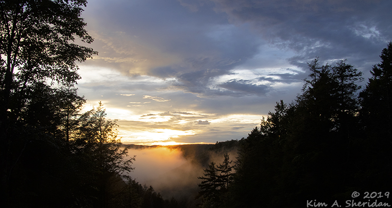
 The setting sun drenched the valley with fire.
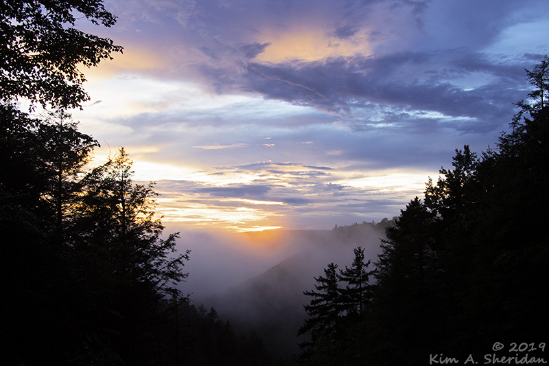 As the day ended, we savored the afterglow of a mountain sunset in heavenly West Virginia. Soon enough, our time in Blackwater Falls came to an end, and we were on the road again, dreaming of our next big adventure.
