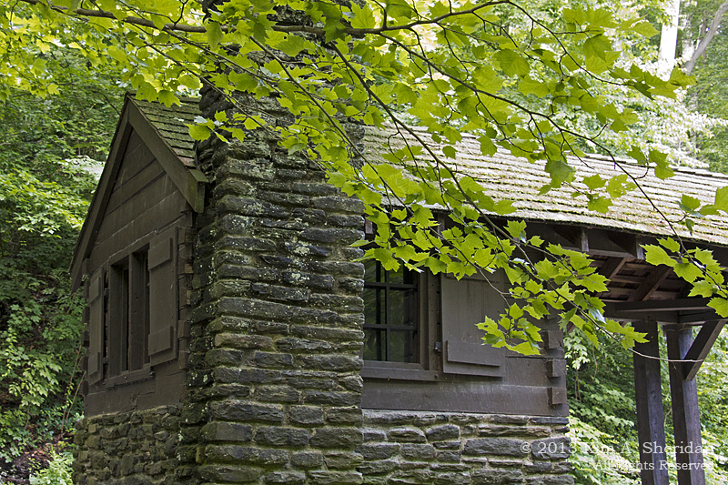
Sleeping Bear Dunes National Lakeshore in northwest Michigan’s Lower Peninsula encompasses 50,000 acres, including 65 miles of Lake Michigan shoreline, and the Manitou Islands. There are 100 miles of hiking trails, winding through forests, lakes, beaches and those famous dunes. Within the Lakeshore are historic sites like the company town of Glen Haven, three former U.S. Life-Saving Service Stations, and the Port Oneida Rural Historic District.
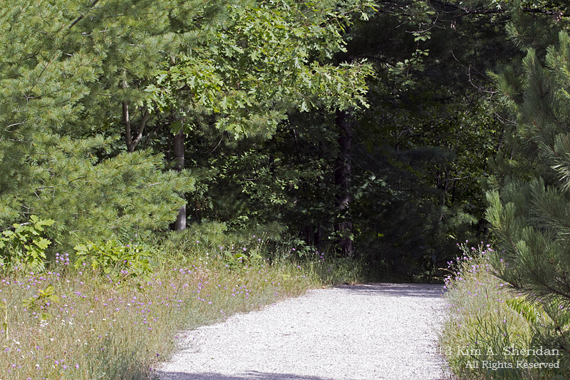
 With only a day at Sleeping Bear Dunes, and so much to see and do, where do you start? That’s easy: with all the “touristy” things! Chief among them is the Pierce Stocking Scenic Drive. This 7.4 mile drive was built in the late 1960s by lumberman Pierce Stocking to show visitors the natural wonders of the area he loved. It became part of the Lakeshore after his death in 1976. The drive winds through the woods and along the dunes, offering spectacular views at 12 stops along the way.
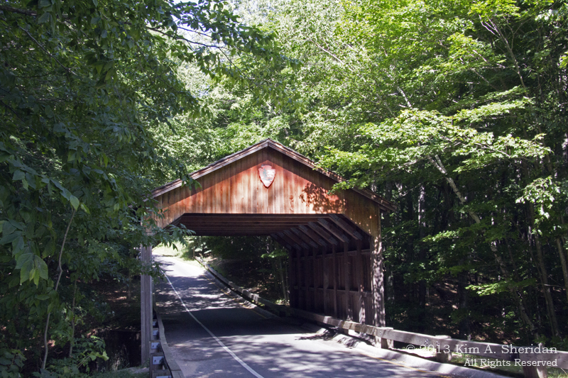
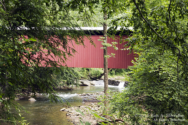
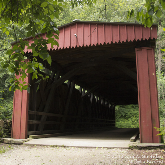
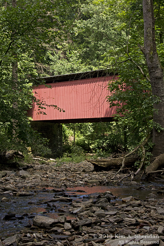
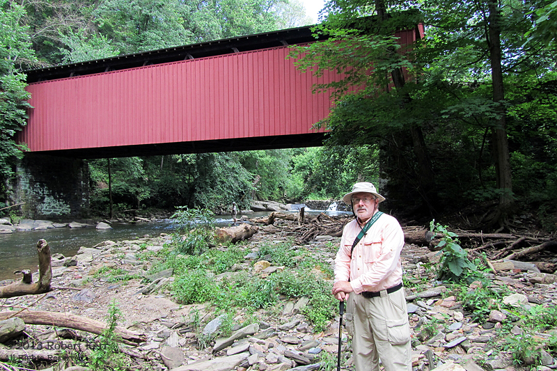
 The Covered Bridge. I’m a sucker for covered bridges anywhere, but this one is especially scenic. And topped with a National Park Service arrowhead, no less. It’s nestled in a forest of maple and beech trees which blankets the steep hills and valleys.
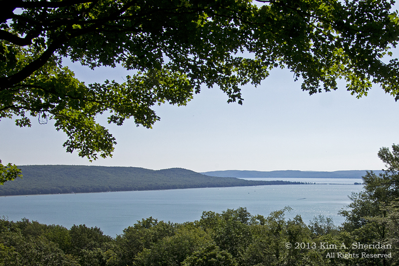
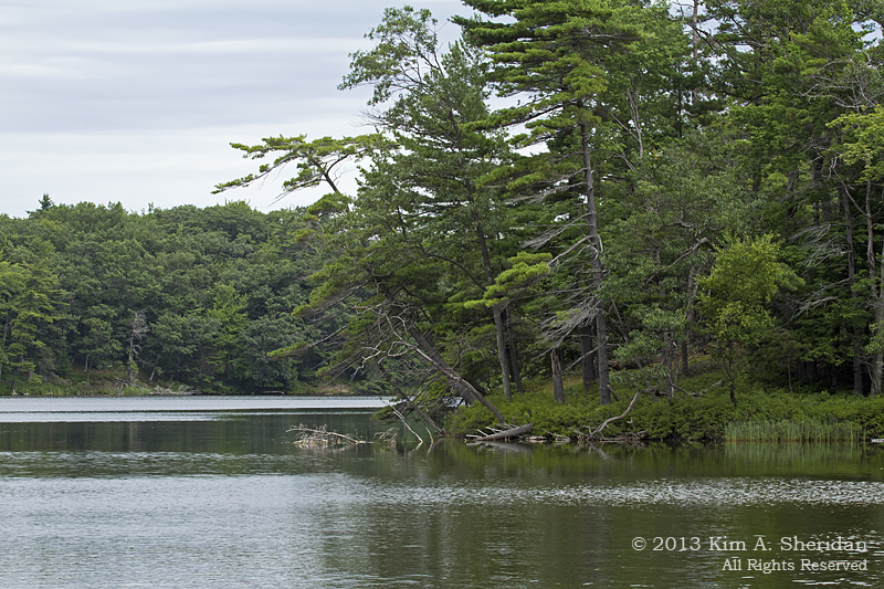
 Glen Lake Overlook. Glen Lake, like Lake Michigan and the other smaller lakes of the area, was carved out by glaciers long ago. As the ice melted, deposits of sand and gravel were left behind to form hills. The hill at the left is known as Alligator Hill because of its resemblance to an alligator’s snout, not because there are alligators on the hill!
 Dune Overlook. Here you can see some of the dunes that make up the Lakeshore. Most of the dunes have been around for ages, and the vegetation that covers their surfaces helps to stabilize them. Occasionally the wind scours a depression free of plants and creates an area known as a “blowout”.
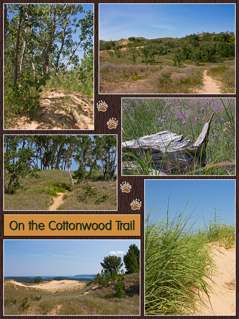
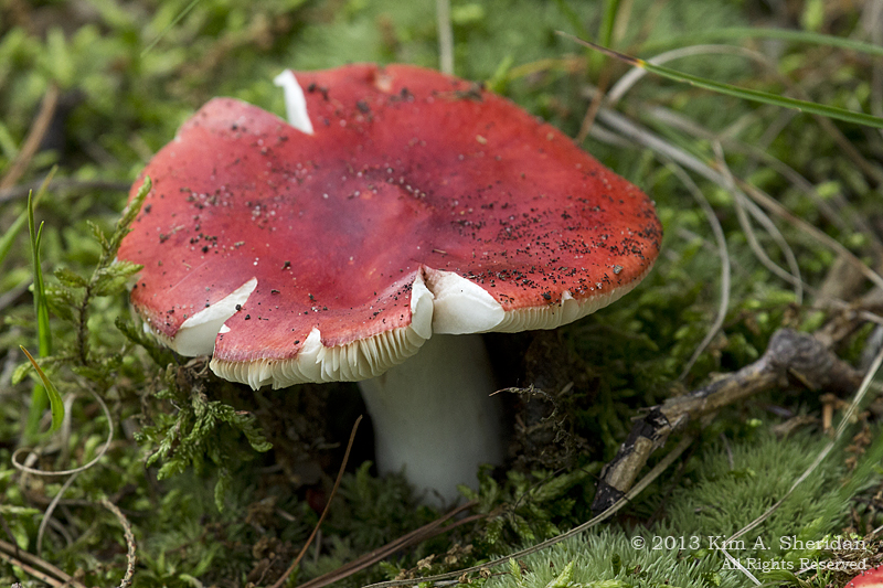
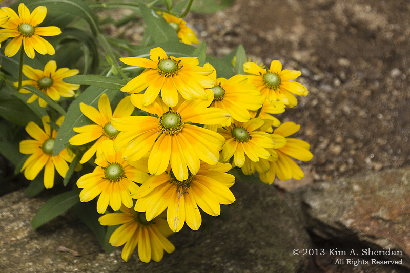
 The Cottonwood Trail. One and a half miles through the dunes, up and down hills of soft sand in a blazing sun. Not usually my idea of a good time, but I really enjoyed this walk. There were great views to be had at the top of those sand hills: the “Dune Climb”, the D. H. Day Farm, Glen Lake and Lake Michigan. The trail gets its name from the stands of Cottonwood trees that provide welcome shade as well as beauty. Lots of interesting wildflowers and shrubs can be found here, including buffaloberry, dune grass, the threatened Pitcher’s Thistle, and bearberry. I recognized not a single one, not being smart enough to pick up a trail map until I got back from the hike. I wished more than once that my Weed Warrior friends were along; they would have had a blast identifying plants.
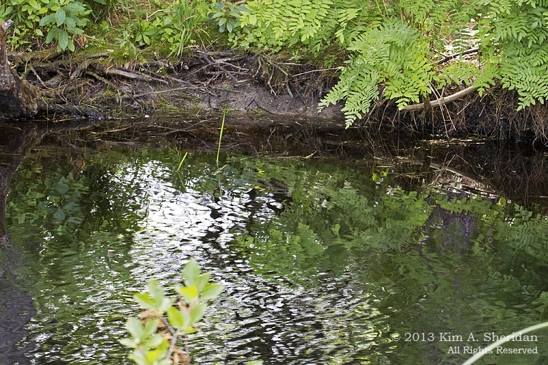
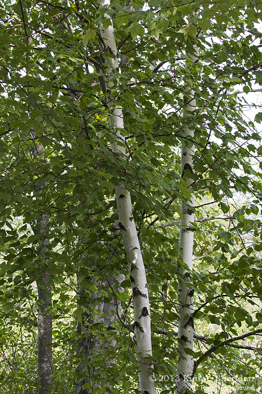
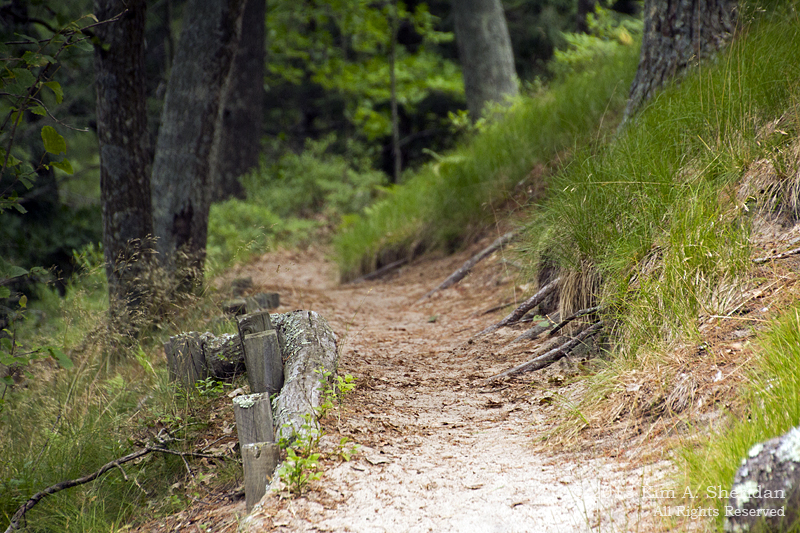
 The Maple/ Beech Forest. Coming down the backside of the dunes, you plunge into a cool, leafy green forest. The predominant trees here are Sugar Maple and American Beech, with Hemlock, Basswood and Black Cherry trees scattered throughout. This is a climax forest, the last stage in the transition of ecosystems from dunes to woods.
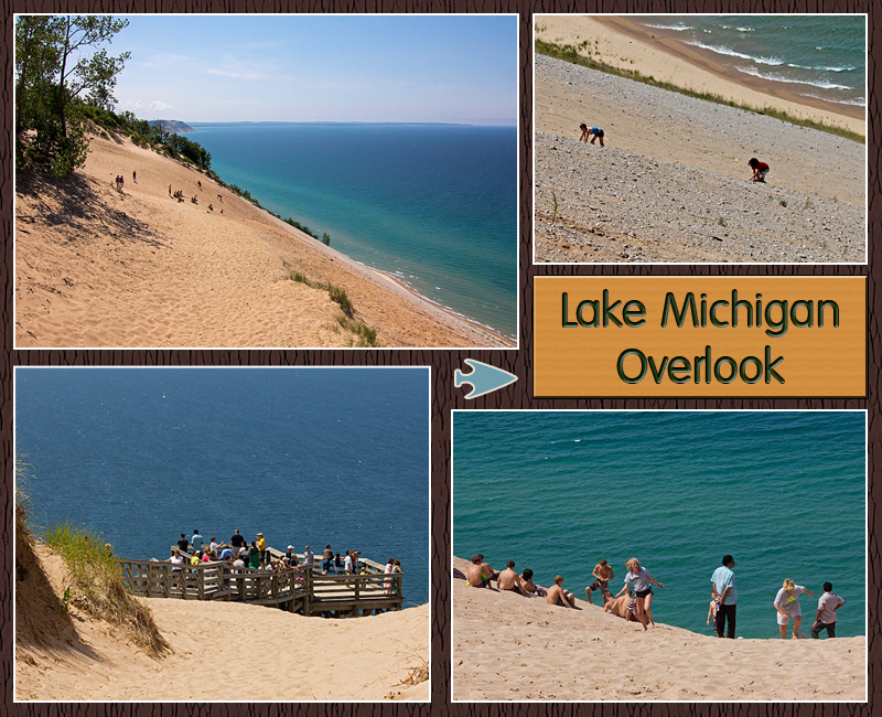
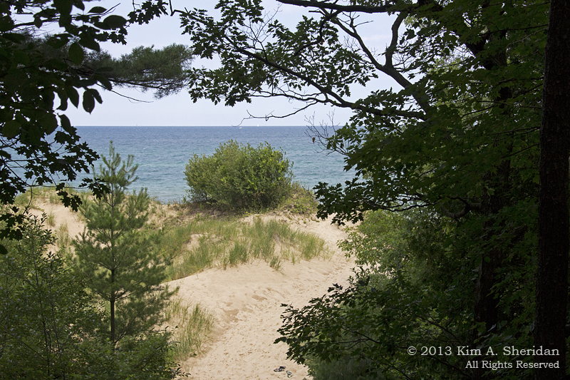
 Lake Michigan Overlook. Lake Michigan was carved out by glaciers, and filled when the ice melted nearly 12,000 years ago. The water shimmers through crystalline shades of blue and aqua, varying with the lake depth. The bluffs that line the shore are 450 feet high, and precariously steep. The NPS warns people not to run down the dunes, both to protect the fragile ecology of the dunes and prevent further erosion, and to protect visitors.
Sure, it’s easy to go DOWN the dune, and there’s an inviting swim at the bottom. But then you have to climb back UP, a chore that can take up to two hours as you crawl upwards over gravel and loose sand. Occasionally people need to be rescued, and the nearby town of Glen Arbor has a four wheel drive vehicle for just that purpose.
 All the warnings don’t stop people from trying it. You can see how steep it is, and how hard it is to get back up. Better to take in the view from the observation platform, but hold onto your hat! It’s windy out there.
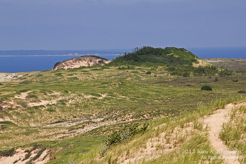
 Sleeping Bear Dune. Here is the dune of legend. At one time it did look like a sleeping black bear. It was also inland from the edge of the bluff, and stood 234′ high. Over the years the front of the bluff has eroded away, as has part of the dune itself. It is now at the edge of the bluff and only 132′ high. In time it will disappear altogether. Across the water at the left is one of the Manitou Islands.
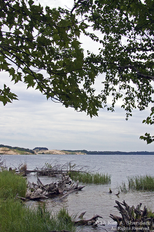
 North Bar Lake. North Bar Lake was once a bay. Over time wave action has worked to carry sand across the mouth of the bay and close it off nearly completely. Only a small channel remains to connect it to the Big Lake. The warm waters make the lake a popular swimming destination and children can’t resist playing in the channel.
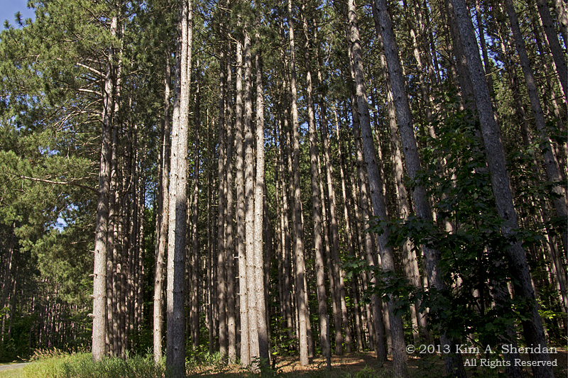
 Pine Plantation. A few posts back we talked about the stands of pines planted to replace the forests that had been logged a century ago. These are red pines, and you can see how they are planted close together in uniform rows. When trees grow like this, it is difficult for other vegetation and other types of trees to get the space, light and nutrients they need. In Sleeping Bear Dunes, the National Park Service is gradually and selectively cutting pines to encourage a more natural mixed forest. That’s the kind of logging I can get behind.
FUN FACT: Sleeping Bear Dune, like many of the high dunes along the Lake Michigan coast, is a “perched dune”. What is a perched dune, you ask? No, it doesn’t perch on a tree branch like a bird. What it perches on is a glacial moraine bluff. Okay, what’s a “moraine”? It’s any accumulation of debris left behind by glaciers, in this case gravel and sand. Much of the geology of this area was formed by glaciers, from the deep depressions that became lakes, to the bluffs and hills deposited by retreating ice.
 Sleeping Bear Dunes National Lakeshore was established in 1973, and is run by the National Park Service; in 2011, a “Good Morning America” viewer poll named it the “Most Beautiful Place in America”. Who am I to argue with that?
Coming up: Dune Culture
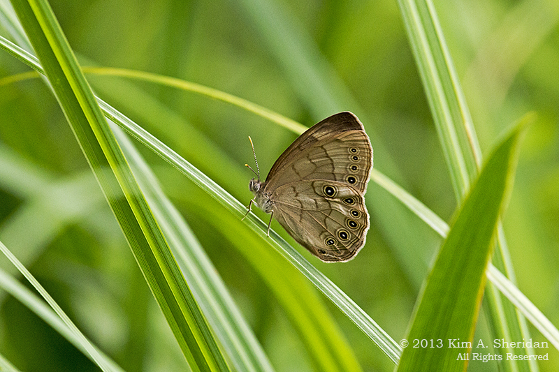
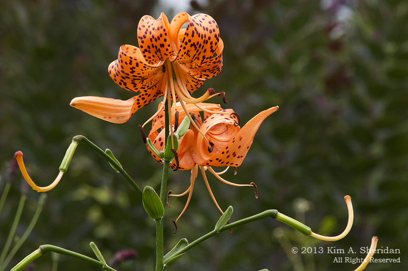
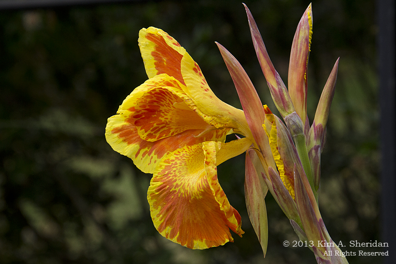
 Where did this summer go? Labor Day is past, and the calendar is poised to turn over to a new season. June, July and August just seemed to fly by, didn’t they?
 Eastern Tiger Swallowtail
 Eastern Comma
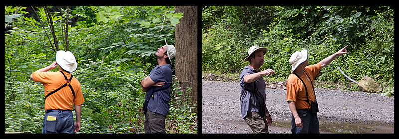
 Hackberry Emperor, above and below. This guy came to visit and wouldn’t leave. Here he’s happily slurping up the minerals deposited by sweat on the hand of Cliff, our Butterfly Whisperer. (Without whom I wouldn’t be able to put a name to many of these beauties)
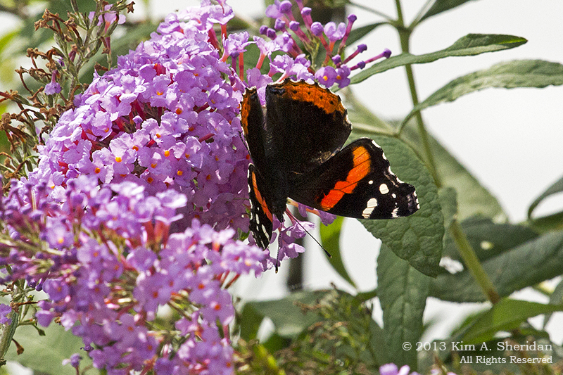
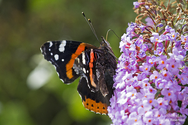 Red Admiral
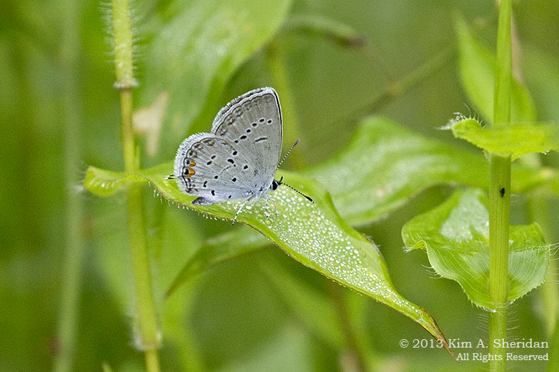 Eastern Tailed Blue
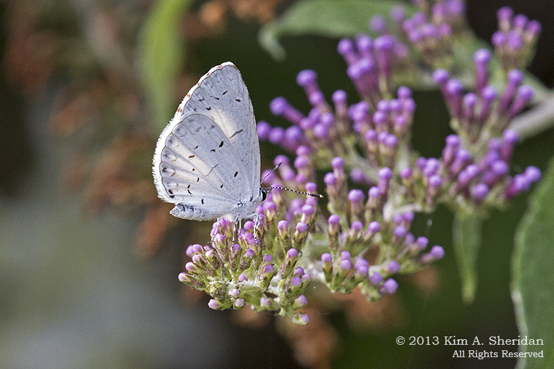 Summer Azure
 Luna Moth
 Smartweed Caterpillar, which becomes a Smeared Dagger Moth
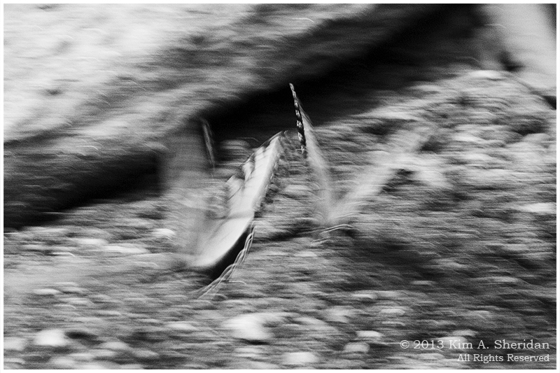
 Snail, moving at surprising speed
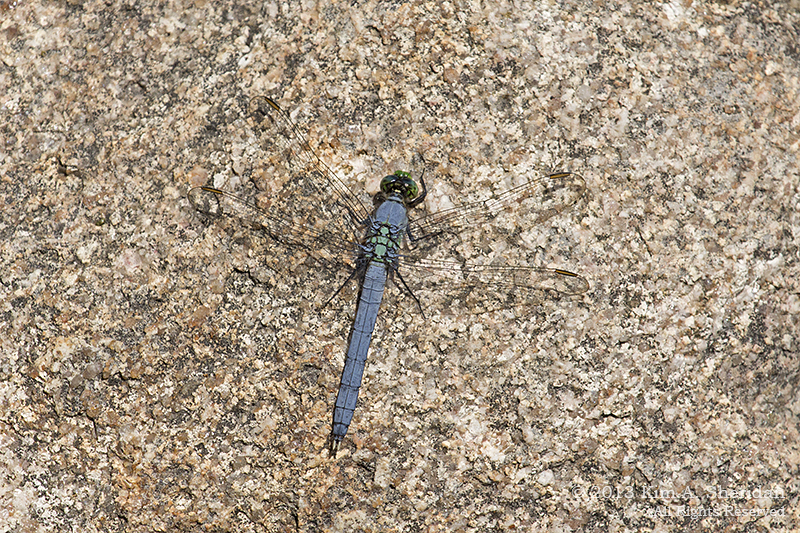
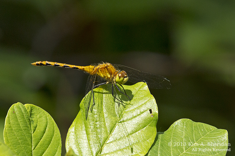
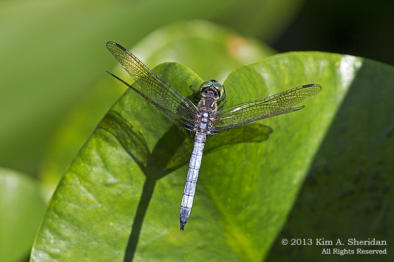 Blue Dasher
 Common Whitetail