We came to the end of the road – and found a trail.
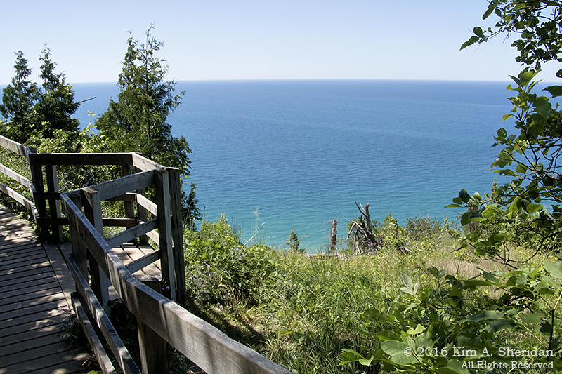
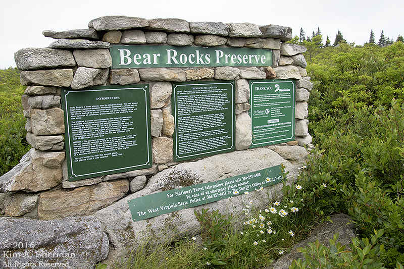
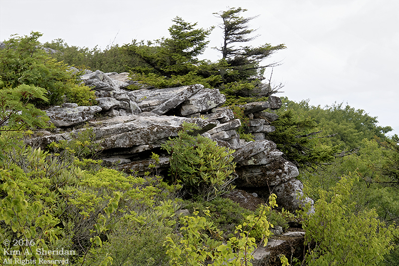
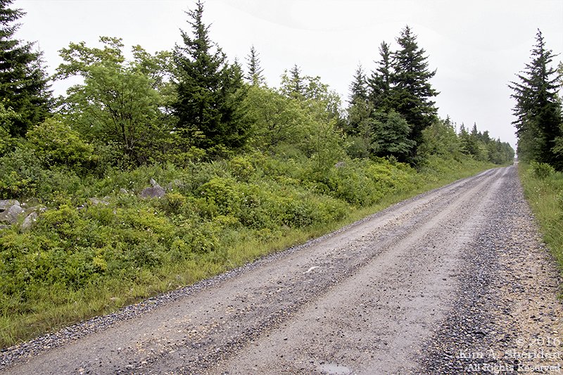
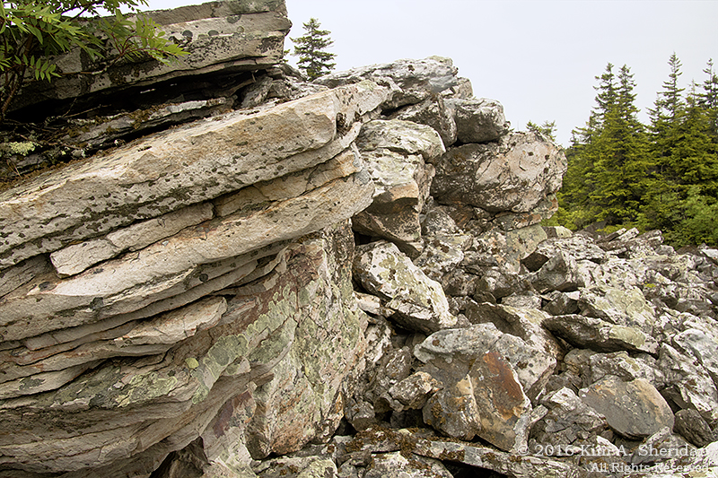
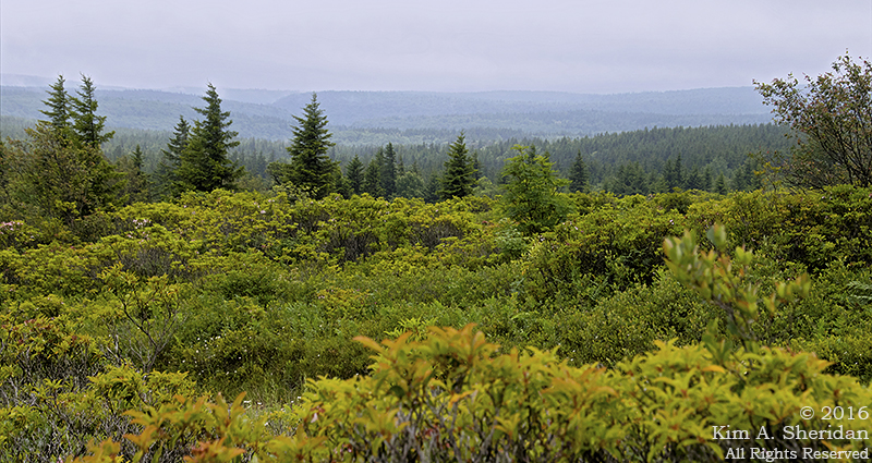
 To the north of the Dolly Sods Wilderness Area in West Virginia lies Bear Rocks, a spectacular outcropping of white sandstone and quartz perched on the Allegheny Front. The rocks are surrounded by the 477-acre Bear Rocks Preserve, owned by the Nature Conservancy, which has been instrumental in preserving and protecting land in the Dolly Sods. After touring Dolly Sods by car, Robb, Don and I were eager to get out and explore on foot, stretch our legs a little.
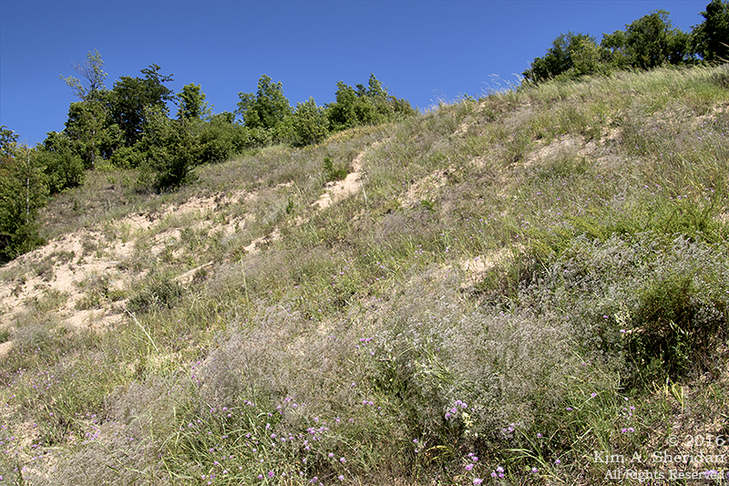
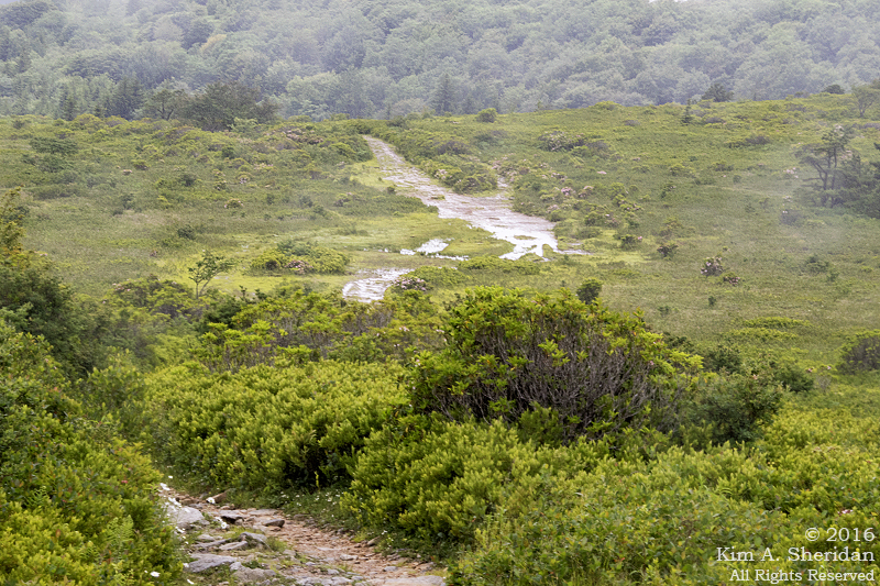
 A view of the Bear Rocks trail. No, that’s not a creek, it’s a trail. A very wet trail. After a lot of puddle-jumping, we turned back. The trail doesn’t go to Bear Rocks, which is what we were interested in. So we followed a cobweb of informal trails through the heath barrens to the ridge.
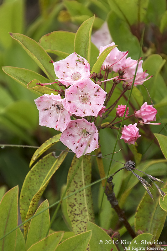
 I’ve been using the word “heath” a lot. What is it?
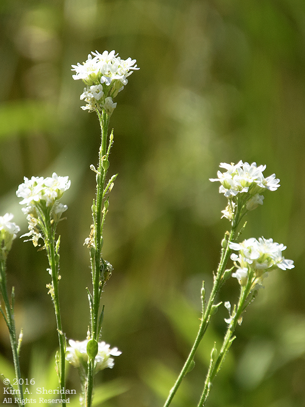
“Heaths” are a family of acid-tolerant, low-growing plants. Huckleberry, blueberry, sheep and mountain laurel (left), rhododendron, tea berry, bear oak.
All of these plants are old friends of ours from the low-lying but acidic NJ Pine Barrens. Time and again, we find them in the higher elevations of the Appalachians.
Here they inhabit tundra-like meadows known locally as “huckleberry plains.”
 Flagged red spruce trees on Bear Rocks.
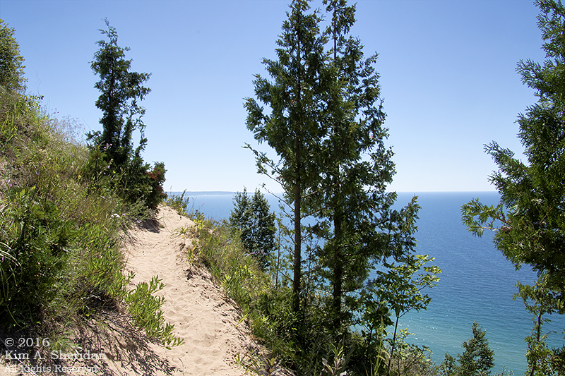
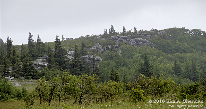
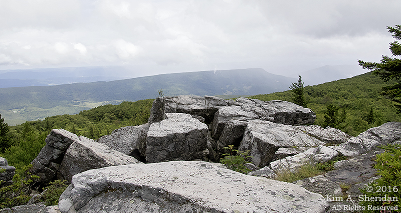
 The view east from the ridge. The Allegheny Front drops 2000’ here to the valley of the South Branch of the Potomac River. Rumor has it that on a clear day, a visitor can see seven mountain ridges, and on the clearest days, Hawksbill and Stony Man peaks in Shenandoah National Park. This wasn’t a clear day. I still can count four ridgelines.
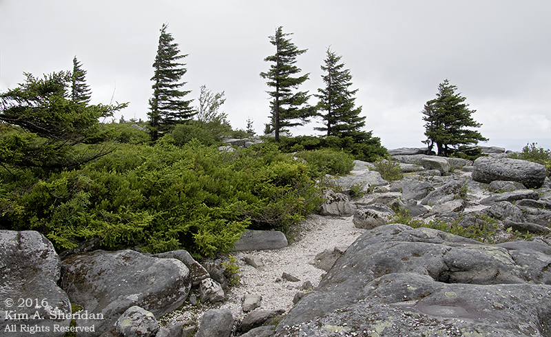
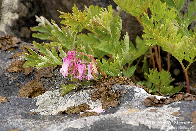
 Rocks, rhododendron and red spruce.
We had a lot of fun clambering all over Bear Rocks. Finding our way back through the heath to the main trail was a little challenging. We were glad the plants were so short that we could see right over them.
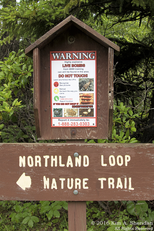
 On the way back through Dolly Sods, we had time for one more stop, the interpretive Northland Loop Nature Trail. Lots of different ecosystems on one short trail.
Also a stern warning about unexploded ordnance. The Dolly Sods was a training area during World War II.
We managed to survive the walk with all limbs intact.
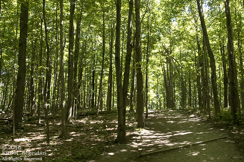
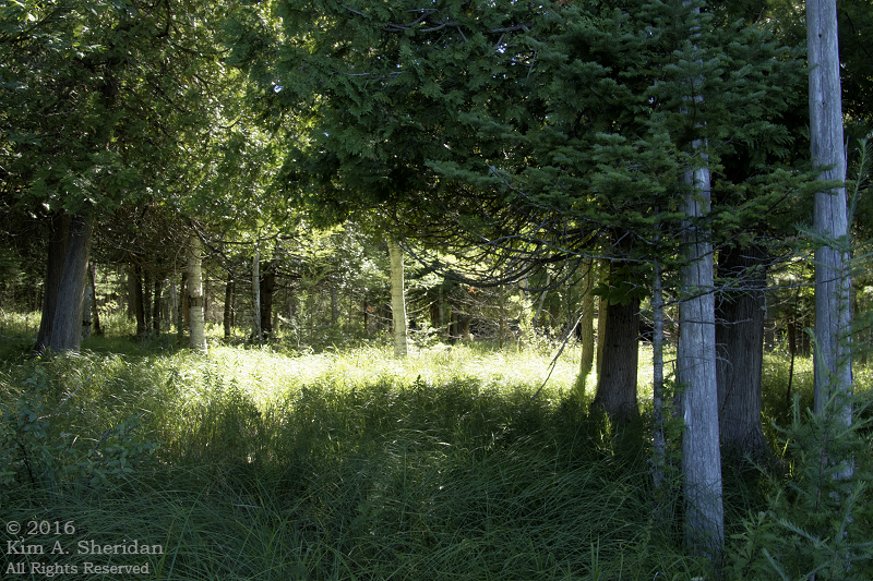
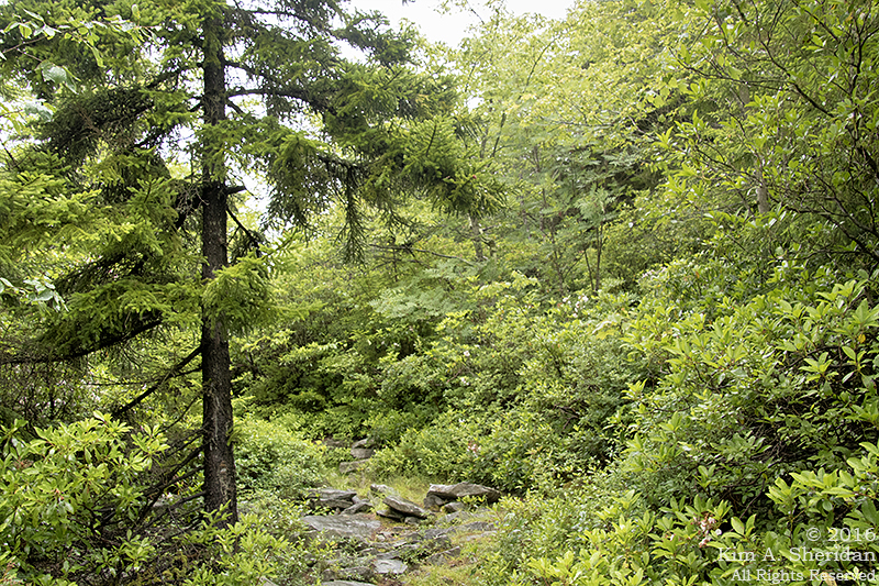
 The trail started through a typical forest of red spruce and rhododendrons.
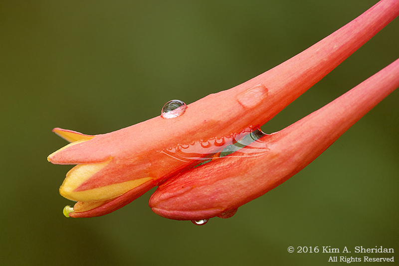
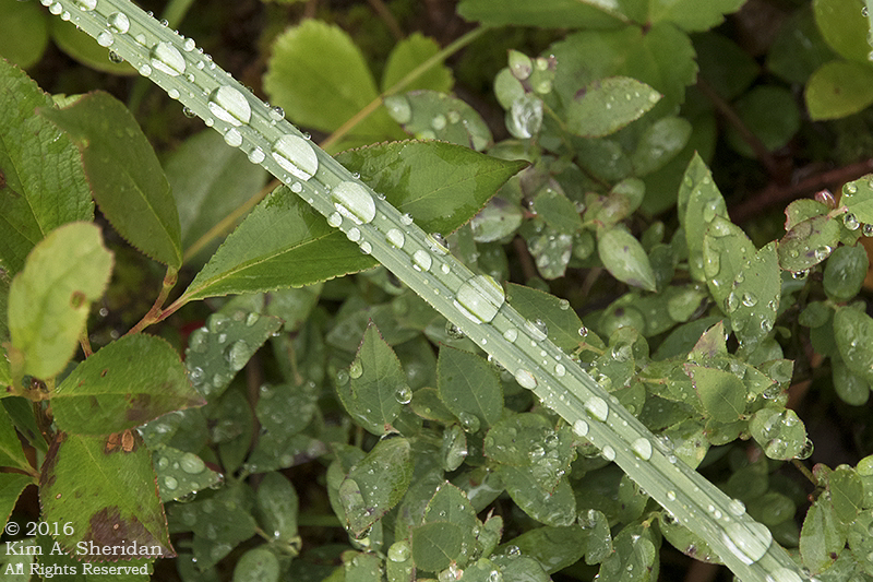
 It was raining, still, which gave me some nice water droplets to play with.
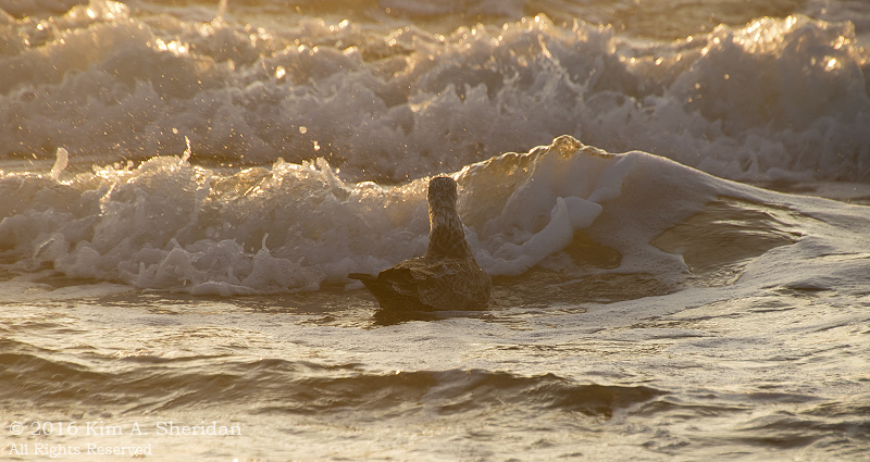
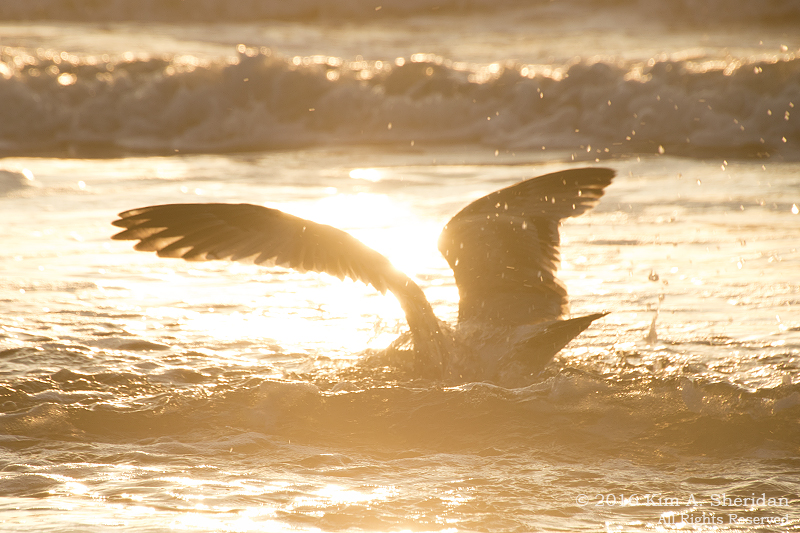
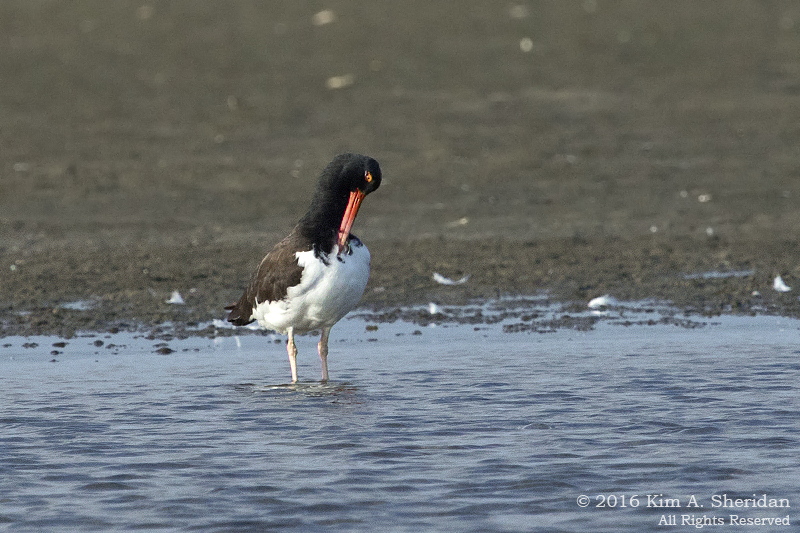
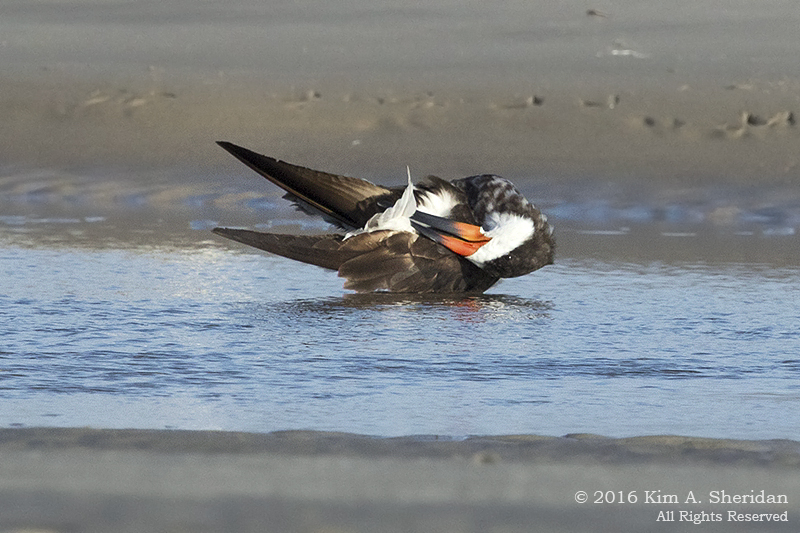
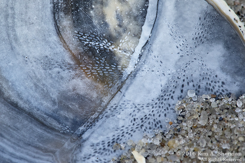
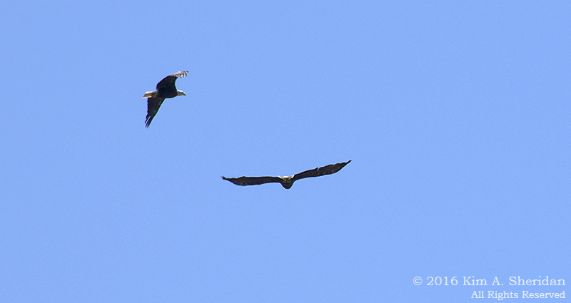
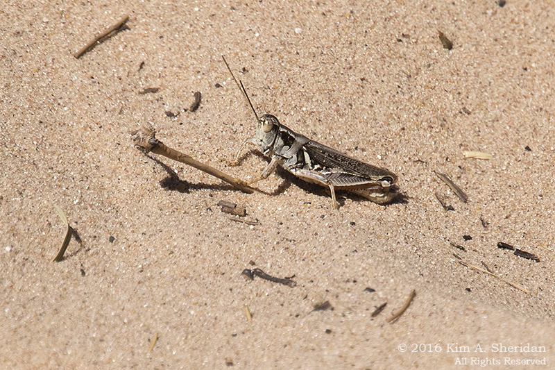
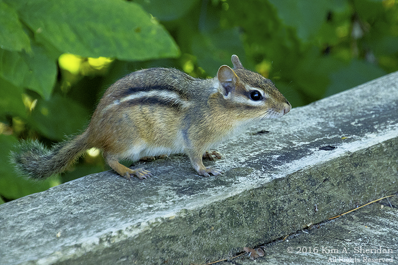
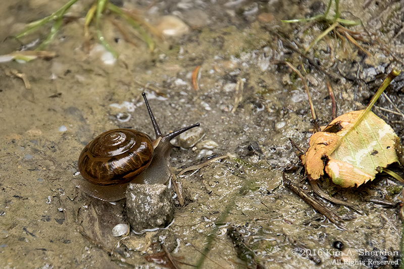
 Except for a few unidentified birds, this was the only wildlife we saw in Dolly Sods. No deer, no chipmunks, NO BEARS. Somehow that absence made this snail all the more welcome.
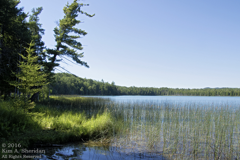
 The highlight of the Northland Loop is Alder Run Bog, a large northern peat bog. Bogs are waterlogged ecosystems where the plants actually grow on the surface of the water. They are unusual at high altitudes, but not in Dolly Sods.
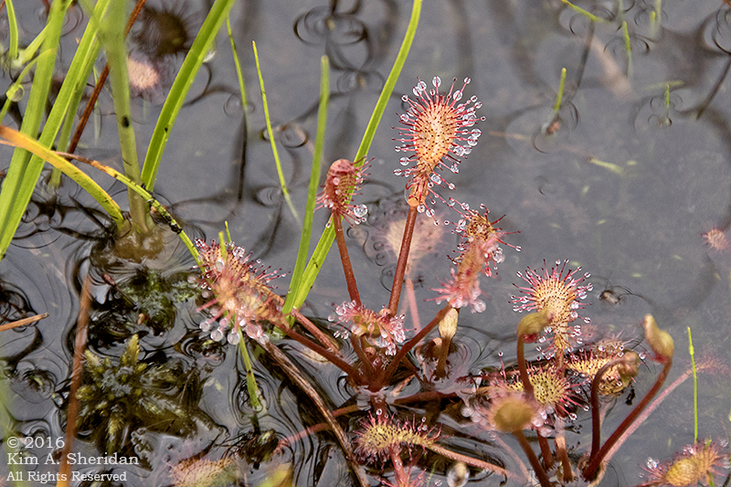
The margins of Alder Run Bog are populated by spruce trees, heaths, sedges and ferns. A boardwalk leads out into the bog, which is covered in sphagnum moss and…
 Sundews! This is a much-loved carnivorous plant we see sometimes in the Pine Barrens. We were unprepared for the vastness of the sundew stands here in Alder Run Bog.
FUN FACT: No more than a couple of inches high, these tiny plants attract insects with a sweet secretion, than trap them with the sticky mucilage of their moveable tentacles. The prey dies of exhaustion or asphyxiation, whereupon the plant digests it. Charming, aren’t they?
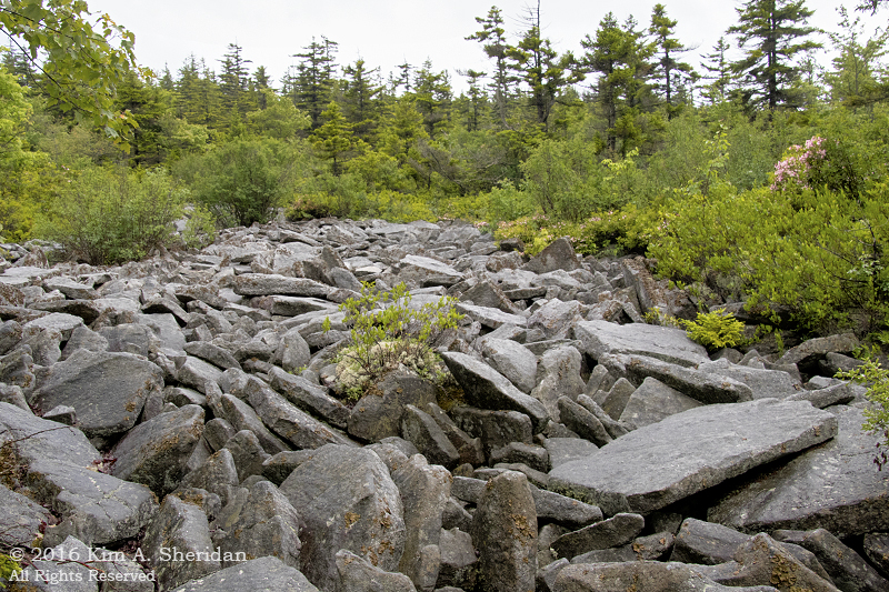
 Back through the forest, we came upon a river of rocks.
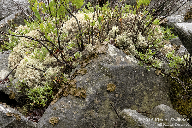
 Among the rocks we found some white reindeer moss. Not a moss but a lichen, it’s common in the Pine Barrens, just like sphagnum moss and sundews. The similarities between the plant life of the Pinelands and that of high-altitude acidic Appalachian ecosystems continues to amaze us.
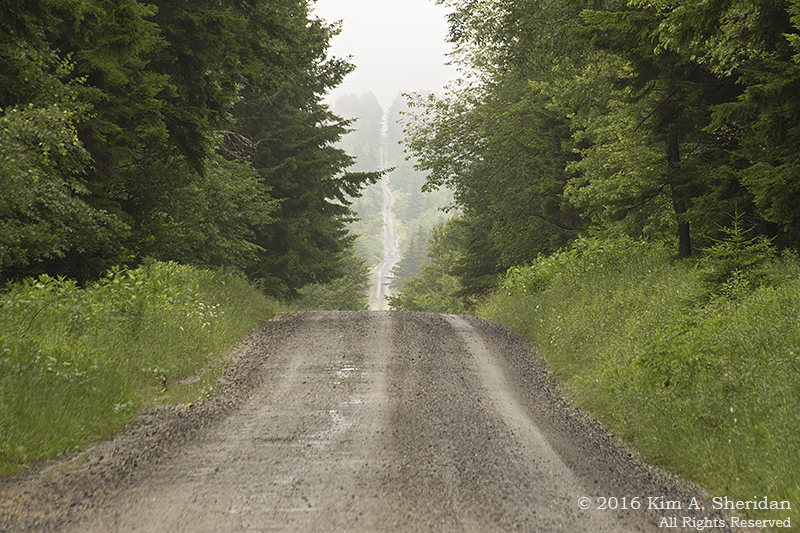
 The road home. We had a wonderful day exploring Dolly Sods, despite the mist and rain. But our time in West Virginia was drawing to a close.
While doing some research for these posts, I have seen many images of Dolly Sods and Bear Rocks unlike any of mine. Photos of clear blue skies, mountain ranges rolling off into the distance, meadows abloom with flowers, heaths ablaze in autumnal reds and golds. Something to aspire to, I guess. Something for a return visit (or two!) to West Virginia. I could spend several days right here in Dolly Sods.
Maybe I’d even see a bear…
 Lady Autumn drifted through the forest on a sparkling day, leaves rustling crisply under her feet. Wrapping her cloak tightly around herself against the chill, she swept her amber eyes across the landscape, seeking spices and herbs for her harvest soup.
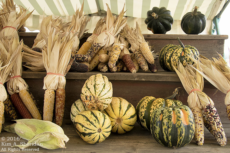
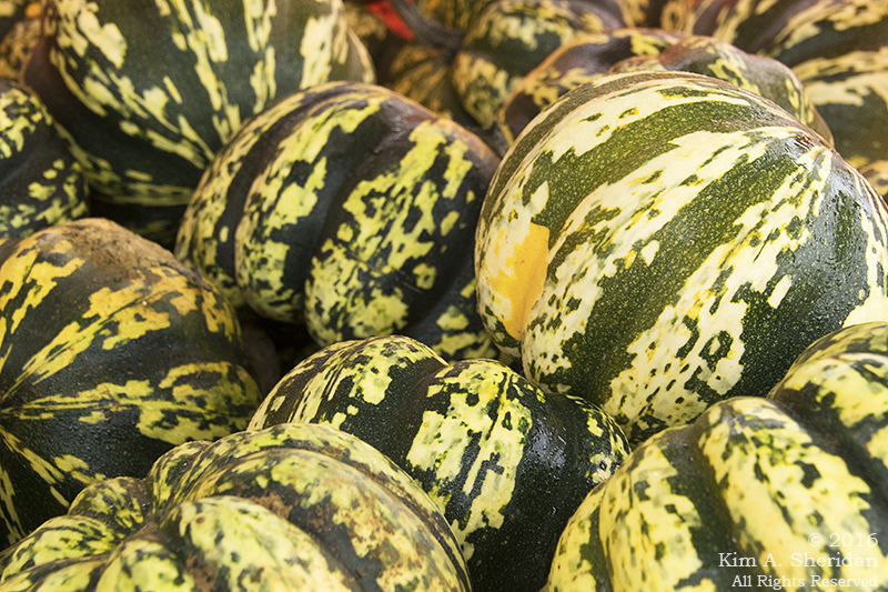
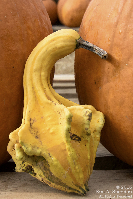
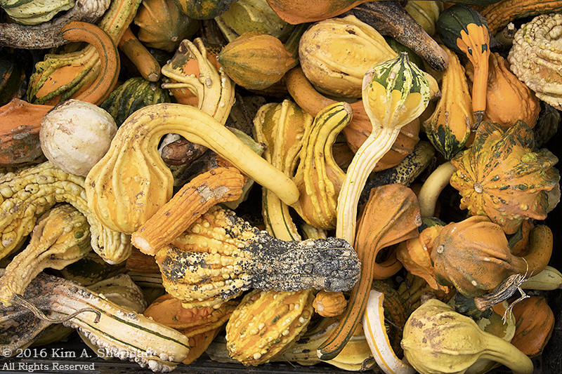
 Butternut squash?
 Cantaloupe?
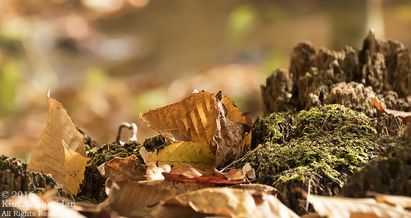 Ah, a pinch of saffron.
 Some cinnamon and nutmeg.
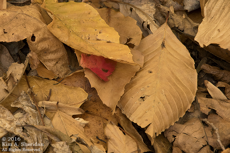 Russet potatoes, finally chopped to give the broth some heft.
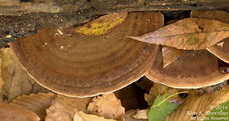 And mushrooms. Always mushrooms.
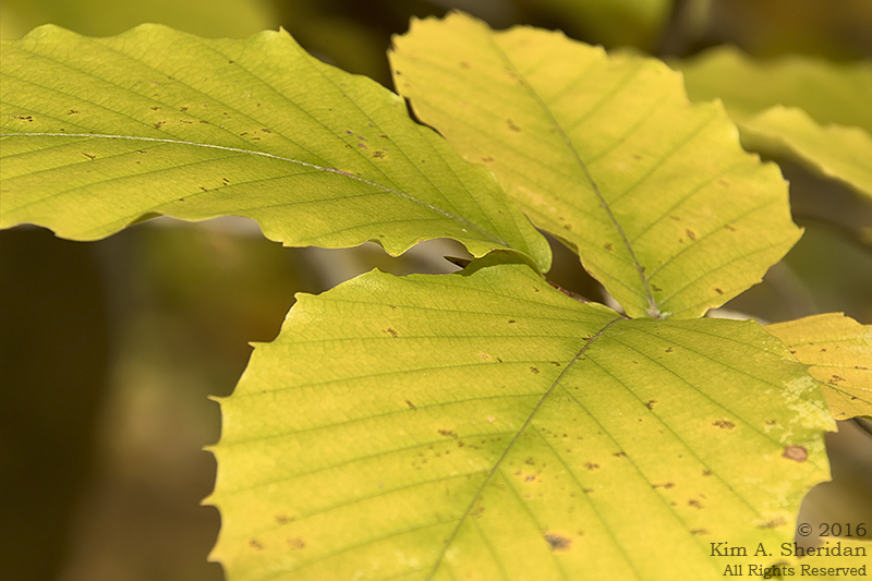 A zest of lemon would do nicely, she thought.
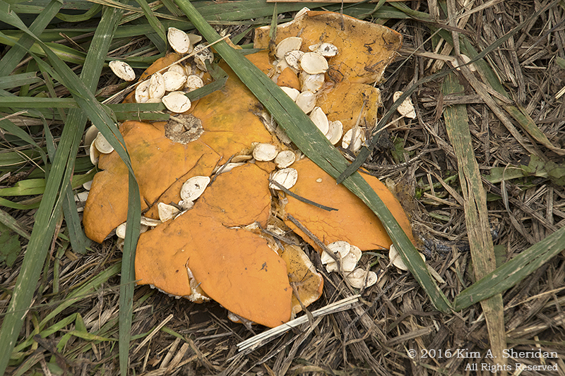
 Nuts would have been a nice touch. Alas, one of Her Ladyship’s small footmen had found these acorns first. A field mouse, a chipmunk, or perhaps a gray squirrel had taken them for his larder.
 A splash of claret.
 A sprinkle of sage…
 Ginger…
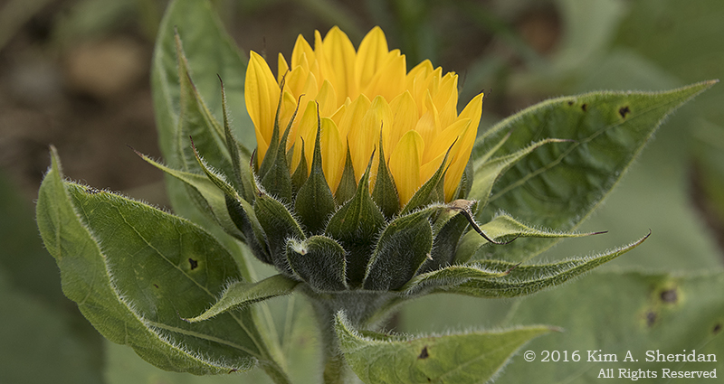
 And a generous dash of paprika to top it off.
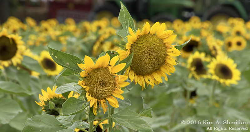
 Lady Autumn walked through the forest on a golden afternoon, gathering the seasonings for a fine harvest soup.
 What do you think it will taste like?